Destinations
Western Sichuan Travel Reality Check: Season, Filters, Altitude and Roads
Before copying a western Sichuan or Ganzi mountain route, check season, image filters, altitude, road time, trekking difficulty, weather, and foreign-visitor logistics.
Quick Answer
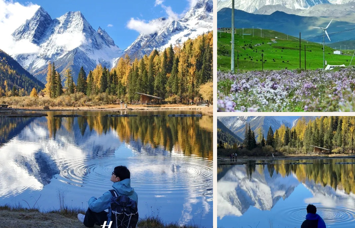
Western Sichuan can be one of China’s most visually powerful summer and autumn routes, but it is not a casual photo-copy itinerary. Treat every Ganzi, Daocheng Yading, Genie Mountain, or grassland post as an idea that needs four checks: season, image reality, altitude, and road access. Daocheng Yading Airport sits at 4,411 meters, and popular Yading lake routes climb around 4,500 meters. Rain, landslides, road works, long transfers, and limited English help can change the trip. If you are not already comfortable with altitude and mountain logistics, use a slower route, a local driver, and one acclimatization buffer.
Best Option by Scenario
| Scenario | Best option | Notes |
|---|---|---|
| First China trip | Start with the altitude gate. If your route jumps from Chengdu to very high ground too fast, the scenery is not the only variable. Sleep, hydration, exertion, and health conditions matter. A route that looks efficient on a map can be physically inefficient. | western Sichuan mountain routes |
| Short trip with limited buffer | Road time is the other reality check. Western Sichuan routes often involve long mountain drives where weather or construction can erase a tight plan. Keep your first high-altitude day light, avoid hard hikes on arrival, and verify hotel acceptance and scenic-area access before paying. | Add one weather buffer |
| Risk-sensitive traveler | Image filters are not the enemy; unverified expectations are. Grass color, snow visibility, lake color, and road scenery all depend on month, weather, light, and editing. Ask what the same place looks like in rain, fog, or midday flat light. | Verify before booking |
Detailed Guide
The social signal around western Sichuan was split: extremely strong photos, equally strong comment anxiety. People asked whether grass was truly green, whether the snow peaks were visible, how much hiking was required, and whether the images were heavily filtered.
Plan The Route
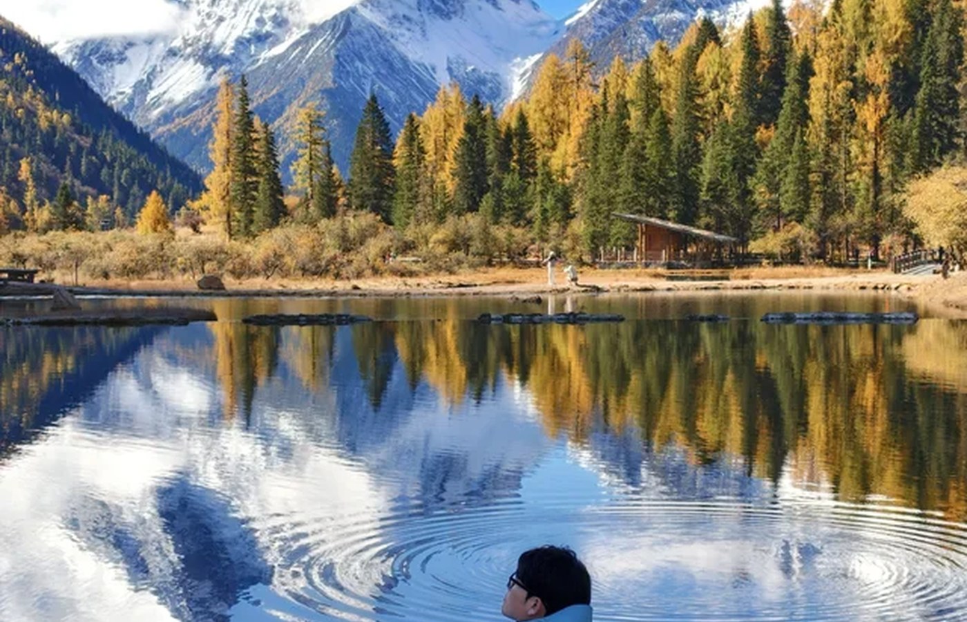
Start with the altitude gate. If your route jumps from Chengdu to very high ground too fast, the scenery is not the only variable. Sleep, hydration, exertion, and health conditions matter. A route that looks efficient on a map can be physically inefficient.
Reality Check
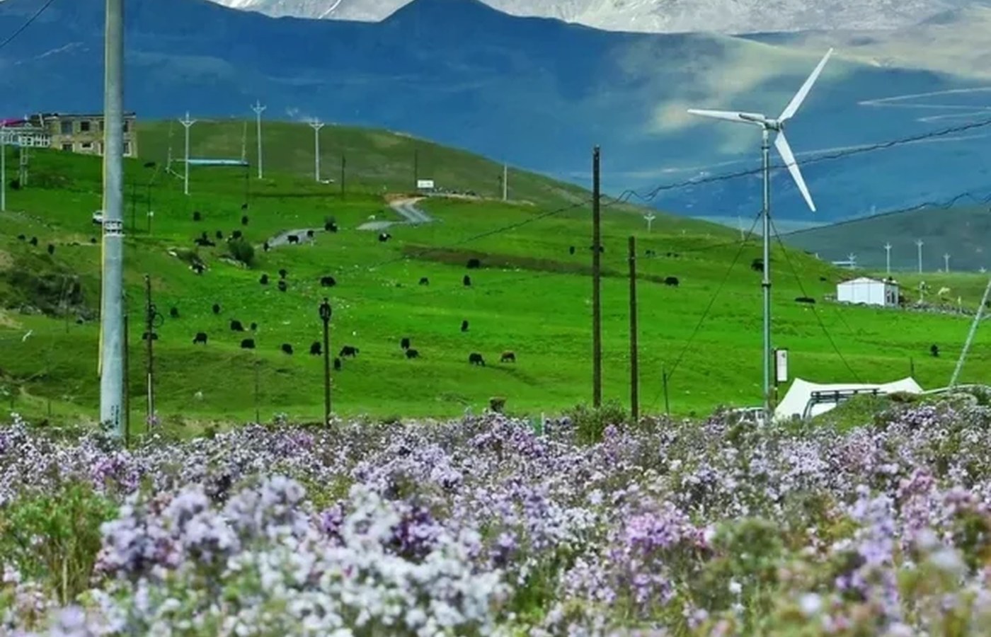
Image filters are not the enemy; unverified expectations are. Grass color, snow visibility, lake color, and road scenery all depend on month, weather, light, and editing. Ask what the same place looks like in rain, fog, or midday flat light.

Booking And Backup
Road time is the other reality check. Western Sichuan routes often involve long mountain drives where weather or construction can erase a tight plan. Keep your first high-altitude day light, avoid hard hikes on arrival, and verify hotel acceptance and scenic-area access before paying.
Bottom Line
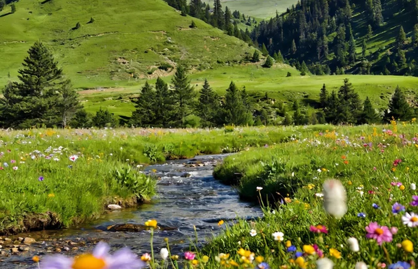
This is not a warning to skip western Sichuan. It is a way to protect the trip from becoming a beautiful screenshot with a miserable body behind it.
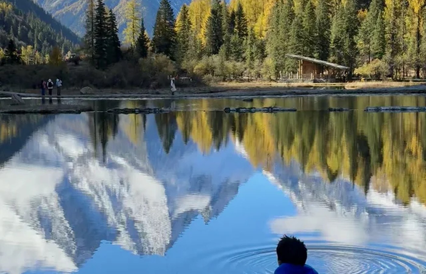
Image Credits
Article photos are cropped from user-approved social visual research assets for this content batch, with app chrome, usernames, captions, stickers, and text-heavy overlays removed where needed. Factual claims still come from the official and primary sources listed above, not from social images.
Step-by-Step Checklist
- 1Verify before bookingImage filters are not the enemy; unverified expectations are. Grass color, snow visibility, lake color, and road scenery all depend on month, weather, light, and editing. Ask what the same place looks like in rain, fog, or midday flat light.
- 2Add one weather bufferRoad time is the other reality check. Western Sichuan routes often involve long mountain drives where weather or construction can erase a tight plan. Keep your first high-altitude day light, avoid hard hikes on arrival, and verify hotel acceptance and scenic-area access before paying.
- 3Prepare China apps and paymentAlipay, WeChat Pay, AMap, DiDi, translation, hotel addresses, train or flight bookings.
- 4Save Chinese place nameswestern Sichuan mountain routes
Common Mistakes
- Copying a pretty post without checking access, season, transport, and safety. Use the post as an idea, then verify official notices, tickets, road access, weather, and backup transport.
- Trying to combine every viral stop into one short route. Pick one spine and protect rest time; China trips fail when transfer days are treated as sightseeing days.
FAQ
Is western Sichuan mountain routes worth planning in 2026?
Western Sichuan can be one of China’s most visually powerful summer and autumn routes, but it is not a casual photo-copy itinerary. Treat every Ganzi, Daocheng Yading, Genie Mountain, or grassland post as an idea that needs four checks: season, image reality, altitude, and road access. Daocheng Yading Airport sits at 4,411 meters, and popular Yading lake routes climb around 4,500 meters. Rain, landslides, road works, long transfers, and limited English help can change the trip. If you are not already comfortable with altitude and mountain logistics, use a slower route, a local driver, and one acclimatization buffer.
What should I book or verify first?
Road time is the other reality check. Western Sichuan routes often involve long mountain drives where weather or construction can erase a tight plan. Keep your first high-altitude day light, avoid hard hikes on arrival, and verify hotel acceptance and scenic-area access before paying.
Can I trust social travel posts for this route?
Image filters are not the enemy; unverified expectations are. Grass color, snow visibility, lake color, and road scenery all depend on month, weather, light, and editing. Ask what the same place looks like in rain, fog, or midday flat light.
Sources and Update Notes
- CGTN brief travel guide to Ganzi Checked on June 19, 2026 for factual planning context; social posts are used only as demand signals.
- Daocheng Yading Airport - SKYbrary Aviation Safety Checked on June 19, 2026 for factual planning context; social posts are used only as demand signals.
- ECNS altitude sickness report, Daocheng Yading Checked on June 19, 2026 for factual planning context; social posts are used only as demand signals.
- Yading Nature Reserve travel details - China Discovery Checked on June 19, 2026 for factual planning context; social posts are used only as demand signals.
- Internal social demand brief, June 19 2026 Checked on June 19, 2026 for factual planning context; social posts are used only as demand signals.